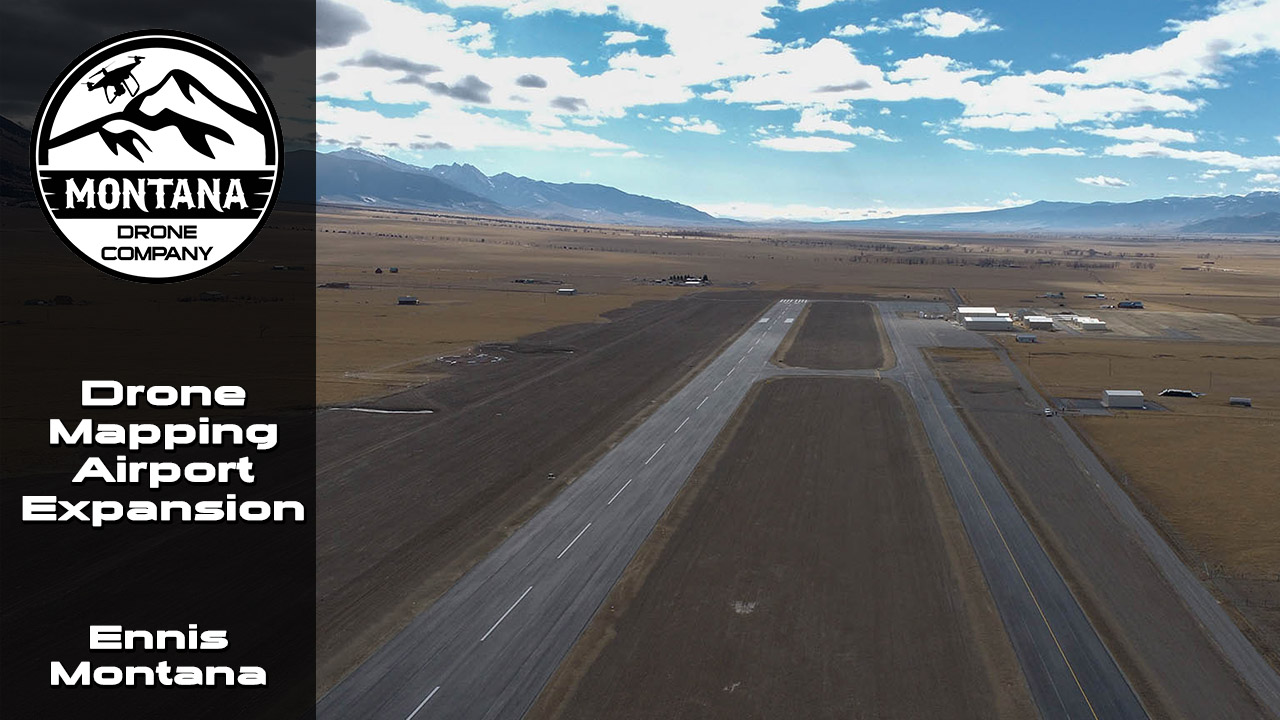
Drone Mapping Ennis Airport Expansion Project
Published: December 5, 2020
Author/Pilot: Montana Drone Company
Category Tags: COOL FLIGHTS,MAPPING | SURVEYING,NEWS
Montana Drone Company was able to provide drone mapping for the Ennis-Big Sky Montana Airport Expansion project in November of 2020. Drone pilots almost never get to fly around an airport and usually have to deal with airspace waivers to the FAA to gain approval for takeoff. The Ennis-Big Sky airport though is a smaller airport in Montana and is Class E airspace which allows us to just work locally with the airport manager to help plan a safe flight.
Safety is always priority #1 for a drone flight, but being around a location like an airport is even more critical. We used a radio to have communication with any air traffic along with having direct contact back to the airport manager.
Drone Mapping Software
We switch back and forth between DroneDeploy and Pix4D for our drone mapping projects. We conducted this flight with DroneDeploy as specified by Gaston Engineering. We used our Phantom 4 v2 Pro UAVs to perform the flight. To help speed up the project being at an airport is why we split the area into two separate grids and had two pilots flying simultaneously.
Other Factors Affecting Drone Flight
The weather was cold and windy. The cold affected the battery lifespan which required extra time to collect all the images for the aerial mapping project. The wind caused some drift in the automatic flight plan entered into DroneDeploy and we had to be very careful when launching the drone to not just immediately tip over.
Other factors involved a hawk or eagle making a couple circles around one of the drones. Always keep an eye for birds in the area which may end up attacking the drone which could cause a crash and damage to your uav aircraft.
Montana Drone Mapping Services
Montana Drone Company delivers unparalleled drone service with easy to work with employees and the latest technologies. We work hard to make your next project or idea a reality! We are certified drone pilots who have passed the part 107 drone certification test to be able to offer our services to individuals and businesses. Technically we are UAV pilots and UAV certified, but everyone in the public mainly refers to our equipment as drones. No project is too large as we can deploy several drone pilots to cover your project at the same time. We offer all sorts of drone services around Montana and the NorthWest region.
Please contact us if you have any questions.

AGRICULTURE
BUSINESS VIDEOS
COMMERCIALS
CONSTRUCTION
COOL FLIGHTS
DRONE LAWS
EVENTS
FLIGHT TIPS
INSPECTIONS
INTERVIEWS
MAPPING | SURVEYING
NEWS
NIGHT FLIGHTS
OTHER PROJECTS
POWERSPORTS
PRODUCT VIDEOS
REAL ESTATE COMMERCIAL
REAL ESTATE HOMES
REAL ESTATE LAND
REAL ESTATE RANCHES
TIMELAPSES
UAV MODELS
VIDEO TIPS
WILDLIFE