Montana Drone Mapping | Volume Calculations
Published: August 14, 2023
Author/Pilot: Dallas Fischer
Category Tags: MAPPING | SURVEYING,NEWS
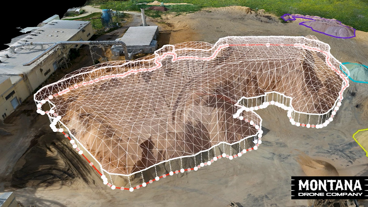
Montana Drone Company offers numerous different aerial drone services, but one of them is drone modeling and volume calculations. MDC can 3D model about anything and here's a great case study to show the usefulness through volume calculations completed at Roseburg Forest Products in Missoula, MT. At the first of every month, the yard is flown with an automated flight which then generates a 3D model. Through the use of DroneDeploy software, each individual pile can be highlighted to mark the points for calculation. The software then provides area and volume calculations based on the modeling information.
Roseburg Forest Products
Roseburg Forest Products manufactures a comprehensive lineup of high-quality, sustainably harvested wood-based products. Roseburg has dozens of plants around the country which includes the one located in Missoula, Montana.
DroneDeploy
DroneDeploy is a platform that combines and analyzes data from all reality capture sources which includes aerial mapping. DroneDeploy can be used for numerous types of aerial UAV data collection and allows pilots to perform automated drone flights that can easily be repeated over time.
Montana Drone Services
Montana Drone Company offers a number of different drone services for a wide range of businesses in Montana. If you are looking for any type of aerial service or drone mapping then reach out to us for more information.

AGRICULTURE
BUSINESS VIDEOS
COMMERCIALS
CONSTRUCTION
COOL FLIGHTS
DRONE LAWS
EVENTS
FLIGHT TIPS
INSPECTIONS
INTERVIEWS
MAPPING | SURVEYING
NEWS
NIGHT FLIGHTS
OTHER PROJECTS
POWERSPORTS
PRODUCT VIDEOS
REAL ESTATE COMMERCIAL
REAL ESTATE HOMES
REAL ESTATE LAND
REAL ESTATE RANCHES
TIMELAPSES
UAV MODELS
VIDEO TIPS
WILDLIFE