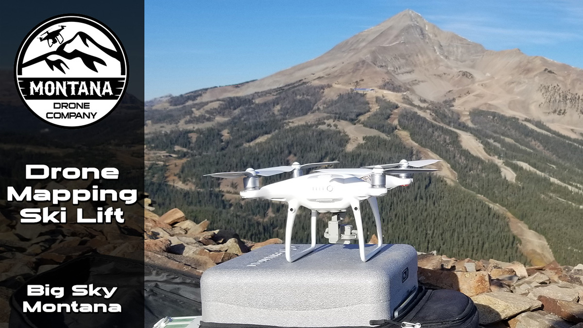
Drone Mapping a Skiing Chair Lift in Big Sky MT
Published: October 15th, 2021
Author/Pilot: Dallas Fischer
Category Tags: MAPPING | SURVEYING,NEWS
Drone mapping continues to become more and more popular, but most gigs are rather monotonous. This job though required mapping the Ramcharger ski chair lift at the Big Sky Resort in Montana. We currently use DroneDeploy as our drone mapping software and this mission was critical to use their terrain awareness feature as the base of the chair lift to the summit was around 1500 feet of elevation change. As of October 2021, DroneDeploy only has the terrain awareness working with Apply IOS application and is not available on Android based software. The terrain awareness uses the drone sensors to continually take readings to the ground and make elevation changes as it flies the mission. The Phantom 4 Pro v2 drone was used to complete this mapping mission.
For more information about our drone mapping services check out this page.

AGRICULTURE
BUSINESS VIDEOS
COMMERCIALS
CONSTRUCTION
COOL FLIGHTS
DRONE LAWS
EVENTS
FLIGHT TIPS
INSPECTIONS
INTERVIEWS
MAPPING | SURVEYING
NEWS
NIGHT FLIGHTS
OTHER PROJECTS
POWERSPORTS
PRODUCT VIDEOS
REAL ESTATE COMMERCIAL
REAL ESTATE HOMES
REAL ESTATE LAND
REAL ESTATE RANCHES
TIMELAPSES
UAV MODELS
VIDEO TIPS
WILDLIFE